Oliver Roick's Weblog Nobody reads this anyway.
A map showing square outlines overlapping each other. The squares form clusters, even without land borders you can recognise the shape of continents and the location of densely populated areas.

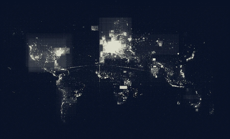
This map shows the outlines of atlases created on Field Papers. Mundane data made to look like art. (via)

You're reading an entry in Oliver Roick's Weblog. This post was published on . Explore similar posts about Maps, and Data Visualisation.